
11:45am / 22°C
Your official guide
Your official guide
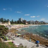
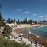
The Sutherland Shire is located 25 kilometres south of Sydney’s CBD and is easily accessible by car, rail and bus. Most international and domestic airlines fly into Sydney Airport, from there it’s a short 30 minute drive, making this a convenient destination to visit.

Explore the Sutherland Shire on our interactive map
Explore here


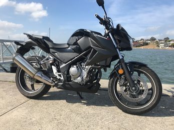
Exploring the many sights of Sydney is fun and easy by motorcycle. Based in South Sydney, Aus Motorc...
Read More
Cycling in the Sutherland Shire
Read More